Natural Attractions and Outdoor Recreation Along Route 66
 |
Different people want to experience different things on Route 66. And that is great! Transportation options and speeds vary, from personal vehicles, rental cars, motorcycles to RVs.
Some love history, some geography. Others like classic service stations, fun quirky attractions like the giant "Muffler Men", and quaint motels, while others enjoy exploring the many museums along the route. Many seek out the many bridges on Route 66.
And there are many of us that love exploring nature and enjoying outdoor recreation. Shown on this page are some of the many natural attractions and opportunities for outdoor recreation along Route 66. And you will find even more on your next Route 66 road trip!
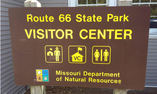
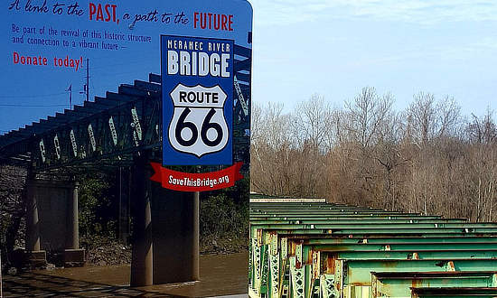
Route 66 State ParkTravel through history on The Mother Road at Route 66 State Park, near metro St. Louis. Sample a slice of Route 66 history at the park's visitor center, which has displays showcasing the road. The visitor center is the former Bridgehead Inn, a 1935 roadhouse that sat on the original Route 66. Picnic sites and trails are sprinkled throughout the park. Included in the historical Route 66 display area are articles and information about the former town of Times Beach. Exhibits highlight the history of Times Beach as a summer resort area on the Meramec River. Efforts are now underway to fund the restoration of the park's historic 1,000 foot long Route 66 Meramec River Bridge completed in 1932. For more information, visit the SaveThisBridge.org website. |
|
 |
 |
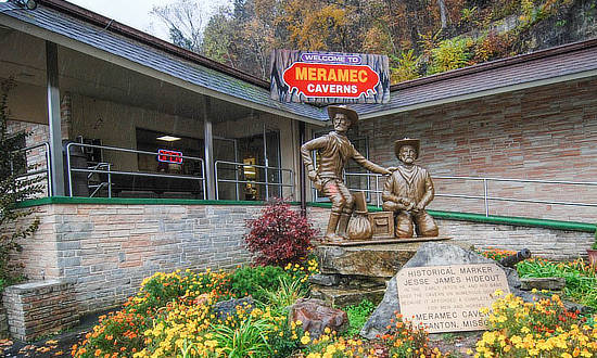
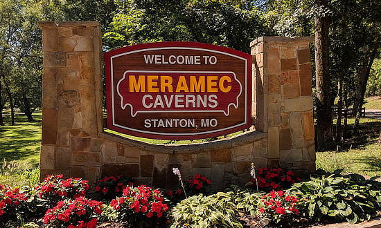
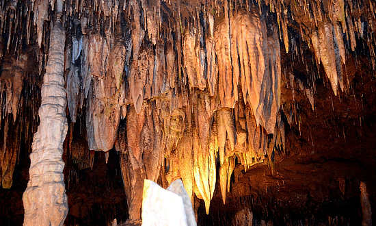
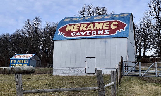
Meramec CavernsBeneath the fertile rolling hills of the Meramec Valley near Stanton and Sullivan, Missouri, lies a complex of mineral formations and color as rare and unique as they are beautiful. These jewels of nature which took thousands of years to grow, are preserved in the spectacular sights of Meramec Caverns. Guided tours by trained rangers are conducted along well-lighted walkways. Take Exit 230 on Interstate I-44 ... GPS address 1135 MO-W, Sullivan, MO 63080 |
|
 |
|
 |
 |
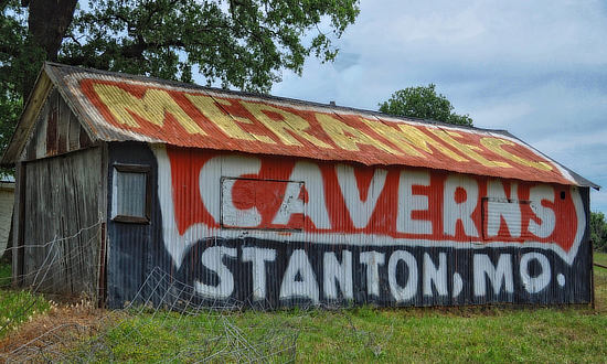
| Classic barn advertising along Historic Route 66 in Missouri for Meramec Caverns | |
 |
 |
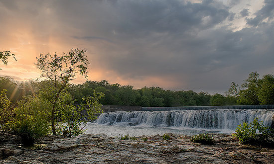
Grand FallsKnown as the largest continuously flowing natural waterfall in Missouri, Grand Falls is a must-stop-photo-op for visitors. Located on Shoal Creek, just a few minutes downstream from Wildcat Park, “The Falls” plunges 12 feet down a 163-foot-wide ledge of solid chert before crashing into jagged crags and then flowing peacefully to the south. The falls are located at 5400 South Riverside Drive Joplin, MO 64804 |
 |
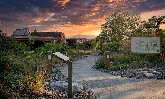
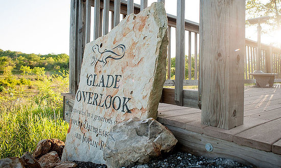
Wildcat Glades Conservation & Audubon CenterLocated at the confluence of Silver and Shoal Creeks, the center, operated by the State of Missouri, showcases plants and animals found on the chert glades and surrounding aquatic and woodland savanna habitats. Read more about Wildlife Glades |
|
 |
 |
Palo Duro Canyon
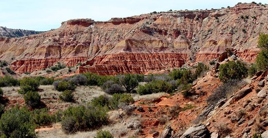
Located 25 miles south of Amarillo is Palo Duro Canyon State Park, the nation's second largest canyon system after the Grand Canyon. It is also 14 miles from the town of Canyon.
 Palo Duro Canyon Palo Duro Canyon |
Palo Duro Canyon is the most spectacular and scenic landscape feature in the Texas Panhandle. It was formed by millions of years of water erosion by the Prairie Dog Town Fork of the Red River and the West Texas wind.
There is an 800 foot descent to the canyon floor and more than 16 miles of paved road. Palo Duro Canyon State Park offers fantastic scenic views, historical sites and markers, picnic tables, public restrooms and showers. It also features miles of hiking and biking trails, horseback riding, and a souvenir shop with grill. There are a variety of camping and parking areas suitable for day trips, overnight tent camping, or extended stays in the largest of campers and motor homes.
The "Texas" Outdoor Musical runs Tuesdays through Sundays in the summer at the Pioneer Amphitheater in the park. Watch the stories, struggles and triumphs of early settlers. The family-friendly show has singing, dancing, fireworks and lots of Texas humor!
Learn more about facilities, things to do, events and reservations at the Palo Duro Canyon State Park website
Santa Rosa Lake State Park
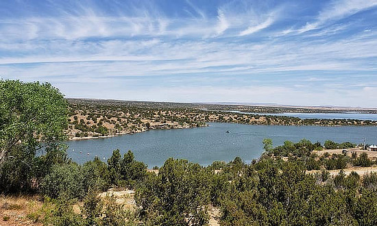
Nearby Santa Rosa Lake State Park is the place to be for camping, boating, water skiing, jet skiing, swimming, hiking, biking and so much more! Centered around Santa Rosa Lake, the state park is the best way to experience the beautiful desert scenery.
 Santa Rosa Lake State Park |
Veer off the Historic Route 66 to reach, where visitors can camp lakeside. Santa Rosa Lake is a man-made lake formed by the Santa Rosa Dam. The system creates a large reservoir with a surface area of 26 square miles. Visitors have plenty of room to explore the natural sights and wildlife living within the region.
The park has several hiking and walking trails. Visitors can walk through the desert landscape and grassland plains to see the flora and abundant wildlife. The trails are well-marked, making it easy to reach the points of interest, including incredible views of the lake and other natural scenery.
For more information visit the Website of Santa Rosa State Park
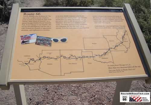
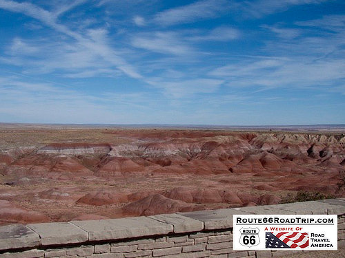
The Painted Desert Near Holbrook, ArizonaShown here is signage at the Painted Desert marking the path of Route 66 through eight states, and through this area. It reads, in part ... "Gaze down the long road and listen. You may hear echoes of the past ... echoes of Route 66"
|
Remnants of Route 66 seen in this photo of the Painted Desert along with the rusted hulk of a 1930s Studebaker.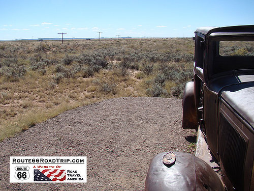 |
Petrified Forest National Park in Arizona, near Holbrook... the only national park on Route 66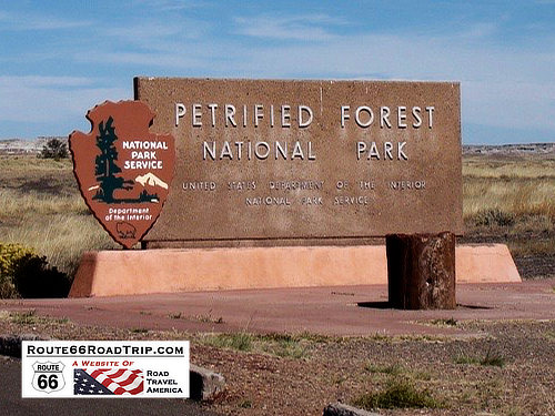 |
| Read more about the Petrified Forest National Park and Painted Desert along Route 66 | |
 |
Homolovi State Park
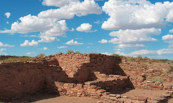
This fine State Park is located just a few miles northeast of downtown Winslow. The Homolovi Visitor Center gives visitors a great taste of northern Arizona's ancient history.
The park offers a variety of amenities and services, including wildlife viewing, a gift shop, picnic areas, shelters, RV parking, tent camping and restrooms.
Also popular with visitors is the Winslow Homolovi Observatory (WHO).
Learn more about facilities and reservations at Homolovi State Park or phone 928.289.4106
Meteor Crater Natural LandmarkThe crater is located 25 miles west of Winslow. Learn more about facilities at the Meteor Crater website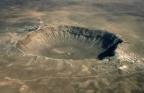 |
Popular Destinations Just Outside of Flagstaff |
|
Wupatki National Monument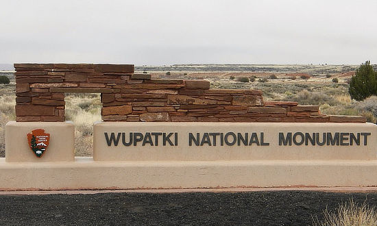 |
Scene at Wupatki Monument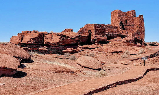 |
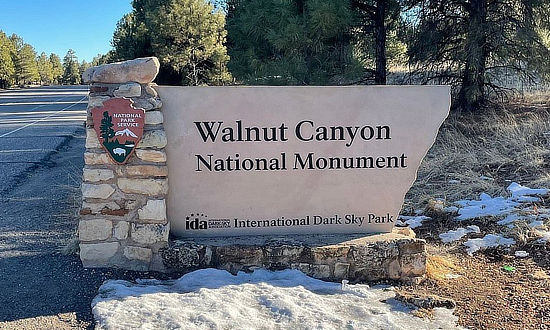
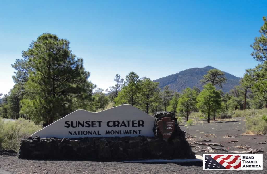
Walnut Canyon National Monument Sunset Crater Volcano National Monument north of Flagstaff |
|
San Francisco Peaks, north of Flagstaff, Arizona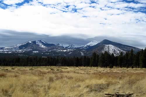 |
While in Flagstaff, visit nearby Sedona, only a few miles to the south!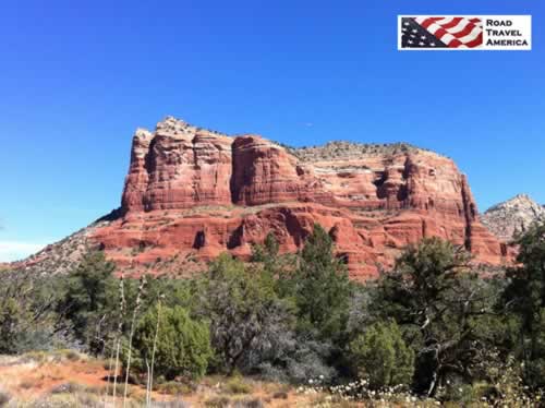 |
Side Trip from Route 66 to Grand Canyon National Park
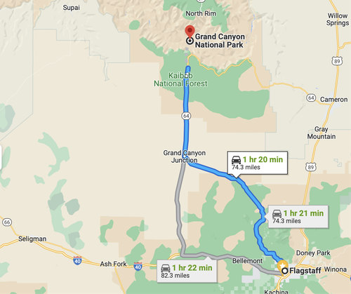 Map showing a road trip from Route 66 in Flagstaff to the Grand Canyon |
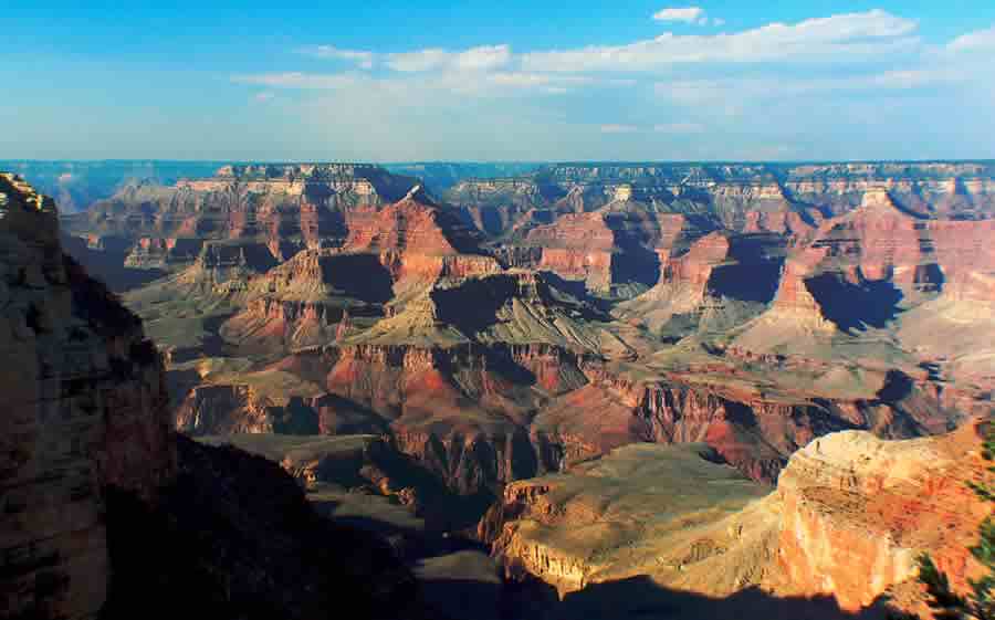
Grand Canyon National Park is located in Arizona near Flagstaff and Williams, and is centered on a Colorado River canyon that is 277 river miles long, up to 18 miles wide, and a mile deep. The Park is one of the world's most popular natural attractions, with attendance exceeding 6 million visitors a year.
The Park is located only about 75 miles northwest of Flagstaff, and is a popular side-trip for Route 66 travelers.
Those visitors approaching the park from Flagstaff take U.S. Highway 180 northwest from Flagstaff to Valle, and then U.S. Highway 64 north to the park.
Another access route is taking Highway 64 north from Williams, located a bit further west of Flagstaff on Interstate 40 and Route 66.
Some visitors to the park ride the Grand Canyon Railway, which runs from Williams, Arizona directly into the park. The railroad has operated since 1901.
The South Rim of the canyon, with an elevation of about 7,000 feet, is open year-round, while the North Rim is open only part of the year, during the warmer months. Most Route 66 travelers visit only the South Rim.
Read more about a Route 66 Side Trip from Flagstaff to the Grand Canyon
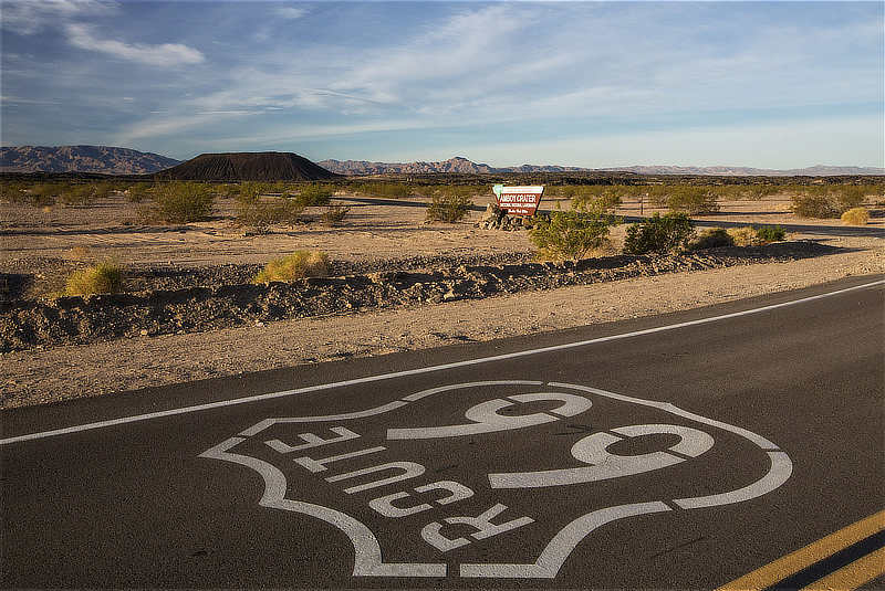
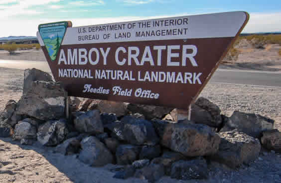
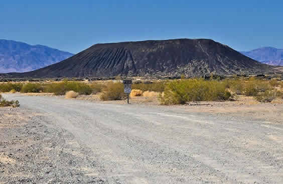
Amboy Crater National Natural LandmarkThe Amboy Crater is an an extinct, 79,000 year old volcano, located about 1.5 miles south of Route 66. |
|
 |
|
 |
 |
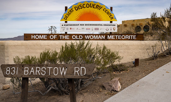
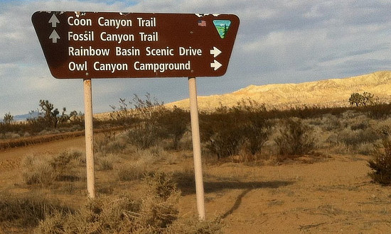
Discovering the Desert at BarstowThe Desert Discovery Center (DDC) is a 7,000 square foot facility surrounded by 12 acres of public land located in the heart of Barstow. The Center houses the “Old Woman Meteorite”, the second largest meteorite found in the United States when discovered in 1975. It is located at 831 Barstow Road. Travelers along Route 66 also enjoy many other desert recreational areas, such as the Coon Canyon Trail, Fossil Canyon Trail, Rainbow Basin Scenic Drive and the Owl Canyon Campground. |
|
 |
 |
