California Route 66 Museum
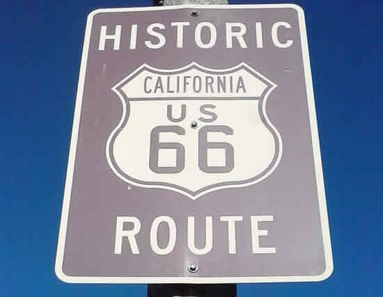 |
Route 66, the Mother Road, ran southwest in Arizona from Kingman through Cool Springs to Oatman, and onward to Golden Shores and Topock where it turned west to Needles, California.
From the Arizona state line to San Bernardino U.S. Highway 66 followed the old National Old Trails Highway.
Leaving Needles, the road ventured a bit north, through Goffs. This railroad town remained a stop on Route 66 until 1931, when a more direct alignment between Needles and Essex was opened.
The road then headed south, through Chambless and Amboy, and then west to Ludlow, Newberry Springs and on to Barstow. There it turned south and traveled through Helendale and Oro Grande to Victorville.
A portion of this famous highway provided a transportation corridor through Victorville, which was unsurpassed until Interstate 15 was constructed. Seventh Street and "D" Street were a part of this national highway.
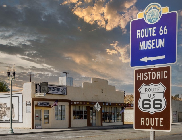
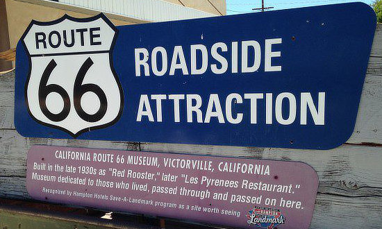
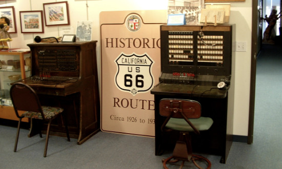
California Route 66 MuseumThe California Route 66 Museum is devoted to the representation of U.S. Highway 66 in both historic and contemporary exhibitions. It is an interactive museum with over 4500 Sq. Ft. of floor space. The museum offers many photo opportunities for visitors to share memories in such settings as a 1950s diner and the VW Love Bus complete with hippie wigs and sunglasses for that perfect photo op. The building was built in 1930 as the "Red Rooster" and later served as the "Les Pyrenees Restaurant". The museum is dedicated to "those who lived, passed through, or passed on here". Located at 16825 South D Street in Victorville, California - Phone 760.951.0436 Website of the California Route 66 Museum
|
|
 |
 |
 |
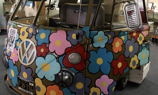 |
Mural at the California Route 66 Museum  |
|
Map showing the location of Victorville on Historic Route 66 in California |
Old Town Route 66 in Victorville, California

Interactive Map of Victorville, California
Lodging, Dining and Attractions in Victorville ... from TripAdvisor
|
Victorville Hotel Directory, Traveler Reviews and Reservations Victorville Restaurant Listings and Reviews Victorville Attractions and Things to Do |
More Information About Victorville |
|
Best-Selling Route 66 Books and Maps at our Amazon Store |
|
| Route 66 Travel Guide - 202 Amazing Places by Mark Watson  |
Route 66 Full-throttle Adventure Handbook, by Drew Knowles  |
| EZ66 Guide for Travelers (5th Edition) by Jerry McClanahan  |
Rand McNally 2026 Road Atlas Large Scale Spiral Bound 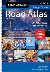 |
About These ProductsThe Route 66 Road Trip website is a participant in the Amazon Services LLC Associates Program, an affiliate advertising program designed to provide a means for sites to earn fees by advertising and linking to Amazon.com and affiliated sites. Amazon offers a commission on products sold through their affiliate links. There is no additional cost to you. |
|
More California Route 66 |
||||
|
||||
 |
 |
 |
||
