Driving on Route 66 from Kingman to Oatman in Arizona
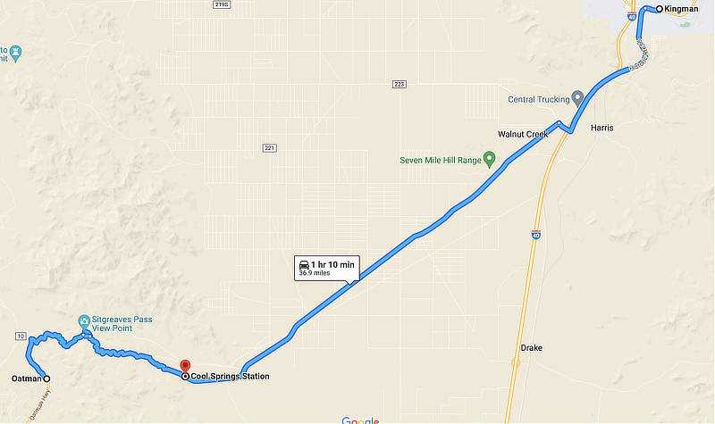
The original 1926 Route 66 alignment ran southwest out of Kingman through Cool Springs to Oatman, and onward to Golden Shores and Topock where it turned west to Needles, California.
In 1952, the Route 66 alignment was changed, running from Kingman through the small town of Yucca and then into California. This alignment is essentially the same as present-day I-40 from Kingman to the Colorado River at California. Read more about the 1952 Route 66 Alignment from Kingman to Topock
Visiting Kingman Arizona
The City of Kingman is the county seat of Mohave County, and has a population of about 28,000 residents, while the entire metro area accounts for about 66,000 residents.
Kingman is located on Historic Route 66, Interstate 40, U.S. Route 93, and Arizona Highway 68. With its geographical location, it provides access to the gambling destinations of Las Vegas and Laughlin, Nevada, as well as the Grand Canyon, California, the Colorado River, Lake Mead National Recreation Area, Lake Mohave, and Lake Havasu. It also is an Amtrak stop.
Popular attractions include the Historic Route 66 Museum and the Kingman Railroad Museum.
For aviation fans, be sure to make a stop at the Kingman Airport on the north side of town. It is a major airplane boneyard and storage facility for commercial airliners.
The Kingman area is served by about 35 hotels and motels, and over 100 restaurants, diners and cafes.
Map showing U.S. Route 66 from Kingman to Oatman, Arizona
Welcome to Historic Downtown Kingman, Arizona ... the Heart of Route 66 |
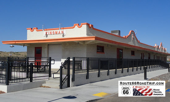
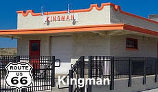
Railroad StationThe one-story Spanish Mission style station in downtown Kingman was built in 1907 by the Atchison, Topeka and Santa Fe Railway—commonly referred to as the “Santa Fe.” |
Located at 402 Andy Devine Avenue |
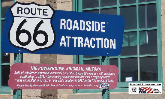
The PowerhouseThe Powerhouse roadside attraction in Kingman, Arizona, and Historic Route 66. Located in the Powerhouse is the Arizona Route 66 Museum, at 120 W. Andy Devine Avenue. |
The Hill Top Motel in Kingman, Arizona - "Best View in Kingman"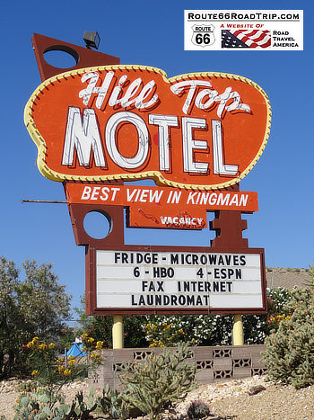 |
Historic Route 66 mileage chart, east and west, from Kingman, AZ 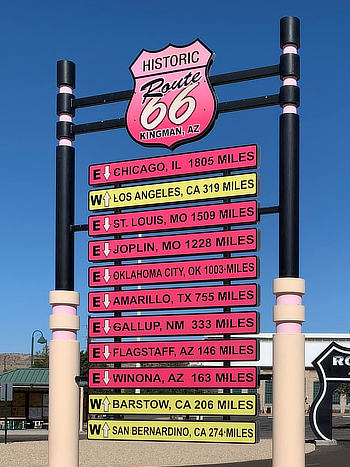 |
Lodging Options in Kingman, Arizona
|
Read traveler reviews and see photos on 40 hotels in Kingman Kingman Travel Guide at TripAdvisor: Lodging, restaurants, things to do |
Driving from Kingman to Oatman, Arizona on Route 66
The Route 66 (Highway 10, Oatman Highway) stretch from Kingman to Oatman starts out flat and fairly straight. Later the road features numerous switchbacks, but is paved, albeit a bit narrow.
In the early years, this road was a challenge to navigate. However, today, anyone with even moderate mountain driving experience shouldn't have any problems.
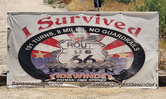
A popular stop between Cool Springs and Sitgreaves Pass is Shaffer Spring, or "Fish Bowl Spring", created in the 1930s by a man working with the WPA. It is a basin of stones built to collect spring water, for both humans and animals, and is located near mile marker 30. A series of steps lead up to the spring. Travelers headed to Oatman from the Kingman area get to experience the famed Arizona Sidewinder: 191 turns, 8 miles of Historic Route 66, with no guardrails!
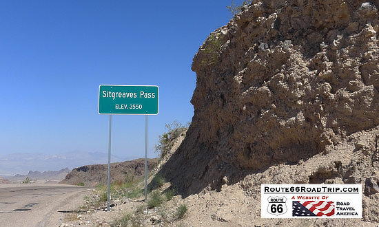
Sitgreaves Pass, elevation 3,550 feet, lies between Shaffer Spring and Oatman.
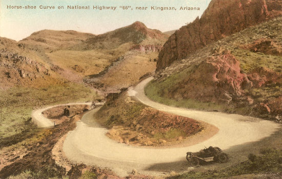
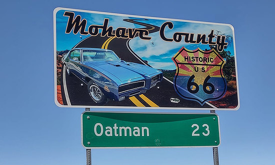
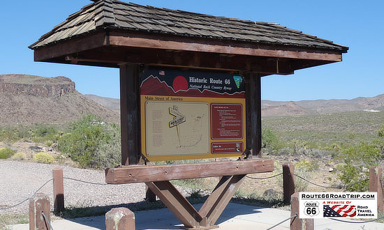
Vintage postcard of horse-shoe curve on National Highway "66" near Oatman Only 23 more miles through Mohave County to Oatman Route 66 travel kiosk between Kingman and Oatman |
Typical geographic desert scene between Kingman and Oatman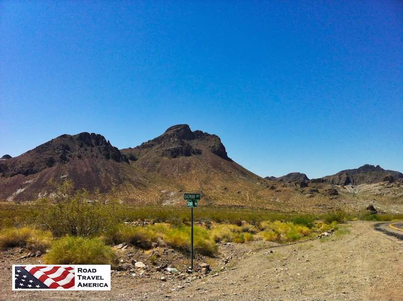 |
Route 66 heading westbound from Kingman to Oatman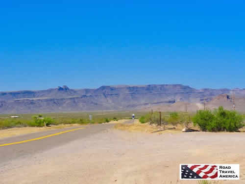 |
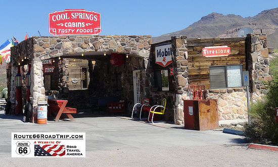
Cool Springs ... cabins, tasty foods, gift shop and museum ... between Kingman and Oatman
For more Cool Springs information, history, museum gifts and more, visit
www.Route66CoolSpringsAz.com and Cool Springs on Facebook
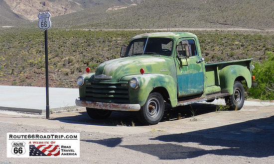
Green pickup truck ready to roll on Route 66 between Kingman and Oatman
Switchbacks near Oatman, Arizona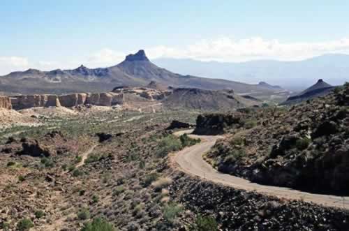 |
Steep, banking curve on Route 66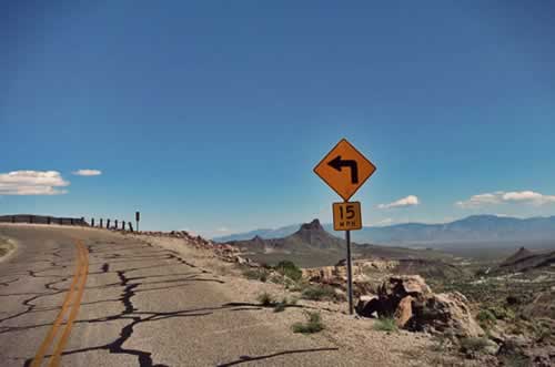 |
Sitgreaves Pass on Route 66, elevation 3,550 feet, between Cool Springs and Oatman, Arizona |
|
Sometimes a bit rough on Route 66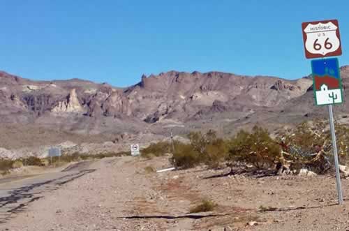 |
Welcome to Oatman Arizona!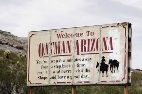 |
The Arizona SidewinderSign in Oatman: I survived the Arizona Sidewinder: 191 turns, 8 miles of Historic Route 66, no guardrails!
|
Oatman, Arizona
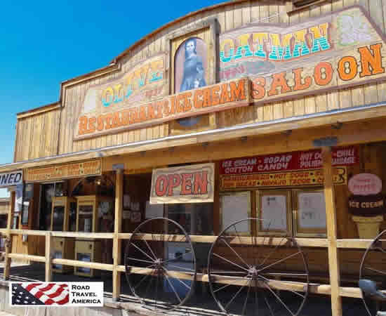 Olive Oatman Restaurant, Ice Cream and Saloon Olive Oatman Restaurant, Ice Cream and Saloon |
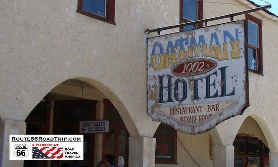
The Drulin Hotel, built in 1902, did a brisk business to the area miners. This old hotel, renamed the Oatman Hotel in the 1960s, is the only historic two story adobe building in Mohave County.
In 1930, it was estimated that 36 million dollars worth of gold had been mined around Oatman.
The town boasted two banks, seven hotels, twenty saloons and ten stores. There were over 10,000 people living in Oatman area.
Today, the popular small town of Oatman is an interesting stop, with numerous gift shops and small restaurants. It is located at elevation 2,700 feet.
Oatman's famous "Wild" Burros that wander the streets are the descendants of burros brought here by the miners, and when no longer needed were turned loose.
Route 66 then took a southwest alignment from Oatman on its way to Needles, California.
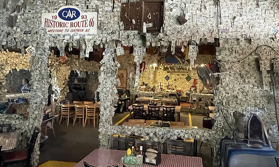
Oatman HotelThe Oatman Hotel, full-service restaurant and saloon. A classic since 1902.
For more information, visit the Oatman Hotel on Facebook |
|
 |
 |
Oatman, Arizona, elevation 2,700 feet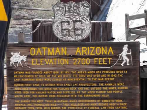 |
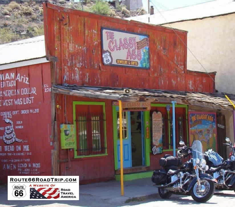
The Classy Ass Jewelry and Gifts, downtown Oatman, Arizona
Wild burros at the Oatman Hotel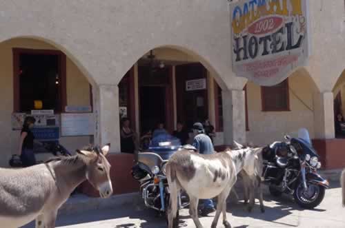 |
Saving Your Ass in Oatman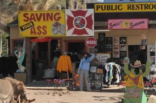 |
Lodging Options Nearby Oatman
|
Hotels in Bullhead City, Arizona |
|
||||||||||||
Travel Guides for Other States Along Route 66
Planning a Road Trip on Route 66? Here are trip planners for all eight states on The Mother Road ...
 |
 |
 |
 |
 |
 |
 |
 |
Popular Side Trips Near Route 66 |
|||
 |
 |
 |
 |
