Route 66 from Flagstaff to Williams, Ash Fork and Seligman
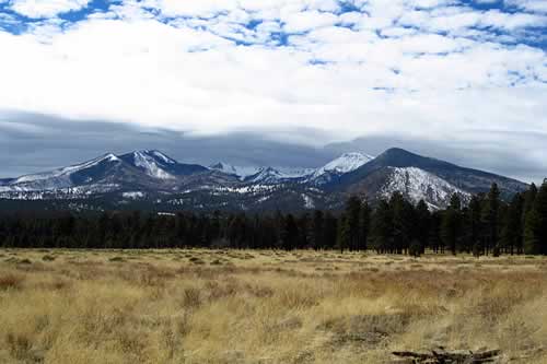 San Francisco Peaks, north of Flagstaff, Arizona San Francisco Peaks, north of Flagstaff, Arizona |
We have traveled Historic Route 66 from New Mexico and into Arizona multiple times over the years, both eastbound and westbound.
Some of the journey is on I-40, which parallels the old Route 66 in many places. We drive the segments of the Mother Road where it still remains. Exits to Route 66 are marked in many locales.
Included below are a few of our favorite places and scenes along the Mother Road through Flagstaff, Williams, and Ash Fork, to Seligman.
Flagstaff, Arizona
From Winslow, we travel west to Flagstaff, a great stopover with lots of lodging and dining options. Read details about Hotels in Flagstaff, Arizona
It is a convenient jumping off location for trips to the Grand Canyon, Sedona and other Arizona attractions.
Map showing U.S. Route 66 from Flagstaff thru Williams to Seligman, Arizona

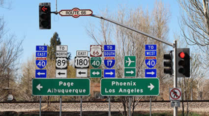
Flagstaff, ArizonaAll roads lead to Flagstaff ... or at least many do! Many highways pass through the city, including Route 66, I-40, I-17, and US Highway 180. |
Route 66 Visitors Center in FlagstaffThe Flagstaff Visitor Center is a great place to find out more about Route 66 in Arizona, area attractions like Sedona and the Grand Canyon, and lodging options. |
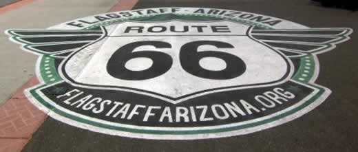
Route 66 Murals in Flagstaff |
|
Route 66: Will Roger's Highway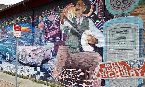 |
Route 66" America's Highway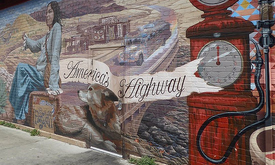 |
Street scene in historic downtown Flagstaff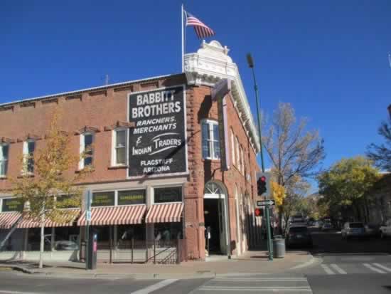 |
While in Flagstaff, travel a bit to the south ... Side Trip from Flagstaff to Sedona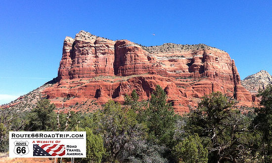 |
A Stopover in Williams, Arizona and the Grand Canyon
From Flagstaff the road passes through Williams, the jumping off point to the Grand Canyon, Ash Fork, and then into Seligman. Read more about hotels and lodging in Williams, Arizona.
The last section of Route 66 nationally was decommissioned through Williams in 1984, replaced by I-40.
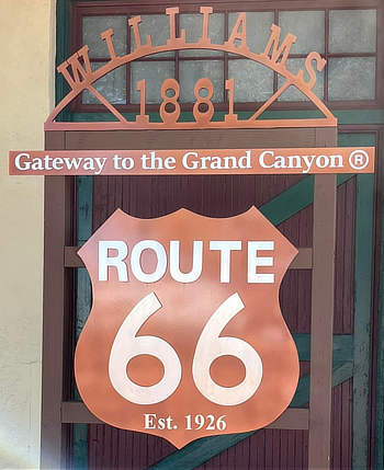
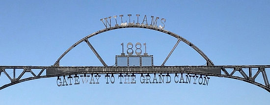
Williams, ArizonaWilliams, Arizona was founded in 1881, and is today known as the "Gateway to the Grand Canyon". |

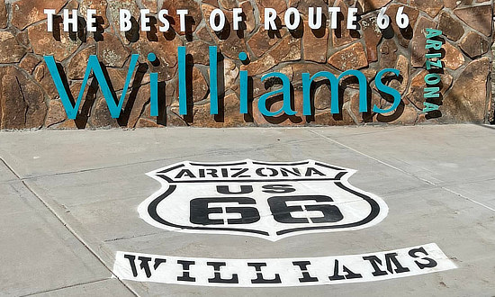 |
 |
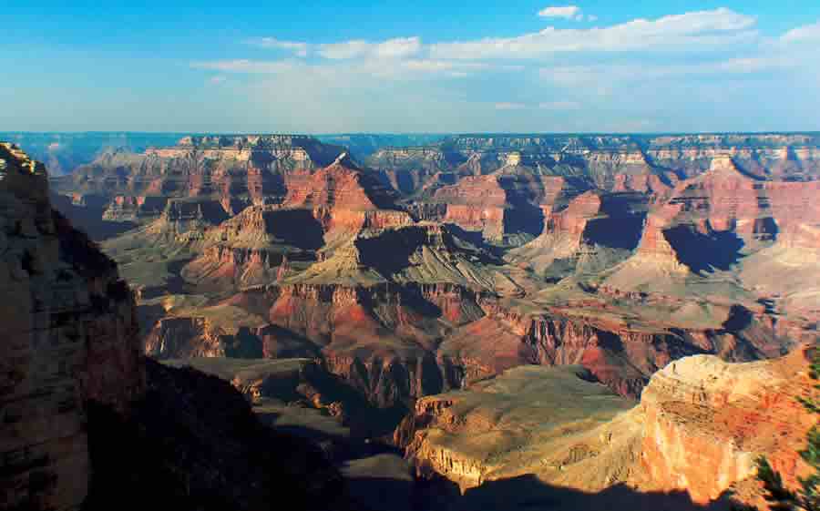
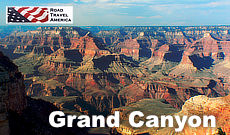
Location and Access to Grand Canyon National ParkThe park is located about 270 miles east of Las Vegas, and about 75 miles northwest of Flagstaff, Arizona.
There are two access routes to the Grand Canyon, the most popular one being Highway 64 north from Williams, located on Interstate 40 and Route 66. Another option is taking Highway 64 west from its junction with U.S. 89 at Cameron. Those visitors approaching the park from Flagstaff will take U.S. Highway 180 northwest from Flagstaff to Valle, and then U.S. 64 north to the park. Another mode of transportation into the park is via the Grand Canyon Railway, which runs from Williams, Arizona directly into the park. The railroad has operated since 1901. The South Rim of the canyon, with an elevation of about 7,000 feet, is open year-round, while the North Rim is open only part of the year, during the warmer months. Read more about a Route 66 Side Trip from Flagstaff to the Grand Canyon
|
Scenes Around Williams, Arizona |
|
Pete's Gas Station Museum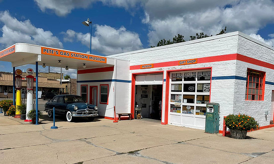 |
Grand Canyon Hotel in Williams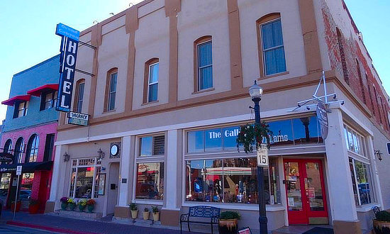 |
Williams Railroad Station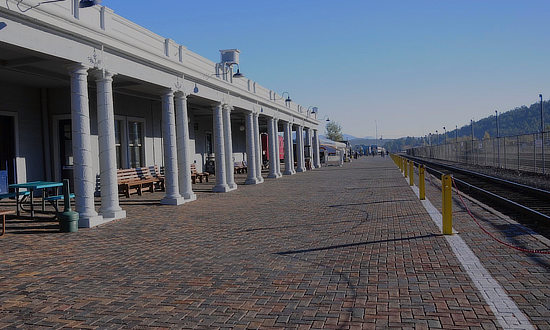 |
Bearizona in Williams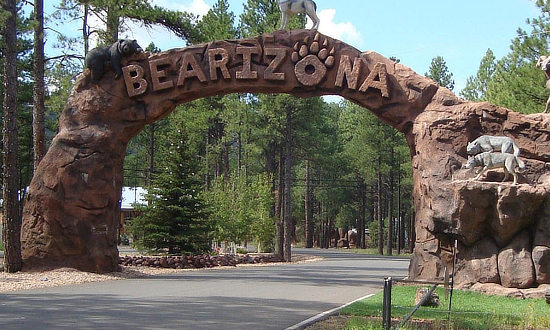 |
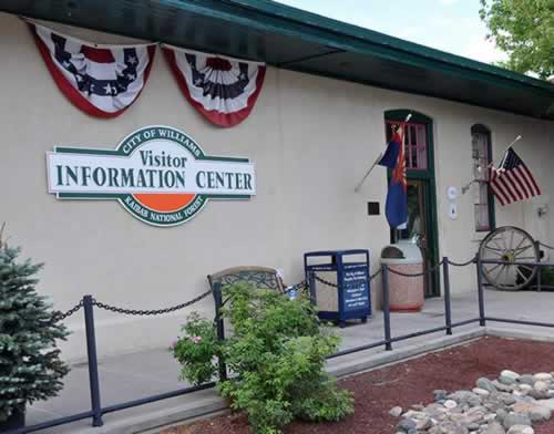
Visitor Information Center in Williams |
Lodging and Dining Options in Williams
 |
|
Hotels in Williams, Arizona with traveler reviews |
Stopping in Ash Fork, Arizona on Route 66
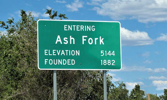 |
Only 19 miles west of Williams is the town of Ash Fork. One of the town's claim to fame is large number of stone quarries and stone yards in and around the town, with Ash Fork proclaiming itself "The Flagstone Capital of the World".
Ash Fork was on the route of the Atlantic and Pacific Railroad in 1882, later the Santa Fe Railroad. It was named for the many ash trees growing at the town site. The Fred Harvey Escalante Hotel was built in 1907.
Route 66 brought a boost to the town’s economy. However, when the highway was widened in later years, many historic storefronts were demolished. Today, the town resides on the north side of I-40.
A popular attraction is the Ash Fork Route 66 Museum, located at 901 Old Route 66 operated by the Ash Fork Historical Society. Phone the museum at 928.637.0204
Welcome to Ash Fork, Arizona on Historic Route 66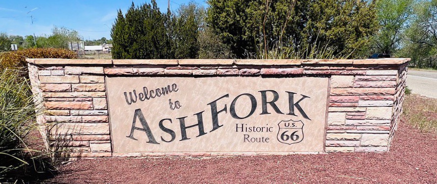 |
Ash Fork Route 66 Museum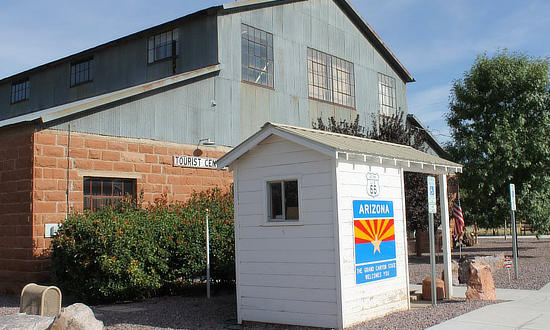 |
Route 66 Museum Interior Exhibits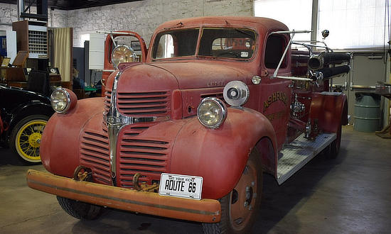 |
| The Purple & White DeSoto on the roof ... DeSoto's Salon 327 Lewis Ave, Ash Fork 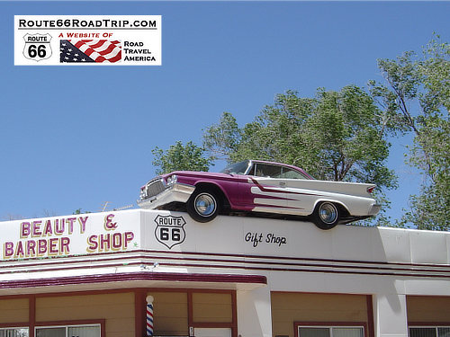 |
|
The Classic Route 66 Town: Seligman, Arizona
Seligman is located on Historic Route 66, between Flagstaff and Kingman, just north of the present-day I-40. It is situated at an altitude of 5,242', and has a population of about 450 residents.
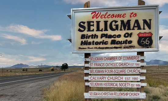 Welcome to Seligman ... "Birth Place of Historic Route 66" Welcome to Seligman ... "Birth Place of Historic Route 66" |
Its earlier roots was as a railroad town. Originally Seligman was called “Prescott Junction” because it was the railroad stop on the Santa Fe Railroad mainline junction with the Prescott and Arizona Central Railway Company.
In 1886 it was renamed Seligman, after Jesse Seligman, one of the founders of J.W. Seligman Co. of New York, who helped finance the railroad lines in the area.
In 1987 Seligman became known as the “Birthplace of Historic Route 66”.
Today, Seligman is home to numerous gift shops, restaurants and several small motels. Read more about motels and lodging in Seligman at TripAdvisor
When in Seligman, be sure to stop and visit Angel & Vilma Delgadillo's Route 66 Gift Shop & Visitor's Center. We've shopped there, and highly recommend it!
Seligman is truly a step back in time! It's a fun place to visit, with great photo ops.
Angel & Vilma's in Seligman, Arizona
In 1972, Angel Delgadillo moved his barber shop so that he could take advantage of the traffic on the new alignment of Route 66 through Seligman.
Business was good until September of 1978, when I-40 bypassed Seligman.
To stimulate tourism, Angel, his wife Vilma, and other shop owners in northwest Arizona established the Historic Route 66 Association of Arizona.
The Association was located in Angel's Barber Shop & Pool Hall.
His work helped make Seligman "The Birthplace of Historic Route 66".
We've shopped there, and highly recommend it!
Read more at www.Route66GiftShop.com
Elvis and friend on a break on Historic Route 66 in Seligman, Arizona

Lodging Options Along Route 66
|
Hotels in Flagstaff, Arizona hotels and traveler reviews Seligman, Arizona hotels and lodging |
MORE ARIZONA ROUTE 66 |
|||
 |
 |
 |
 |
 |
 |
 |
 |
Other Travel Destinations Near Route 66 |
|||
 |
 |
 |
 |
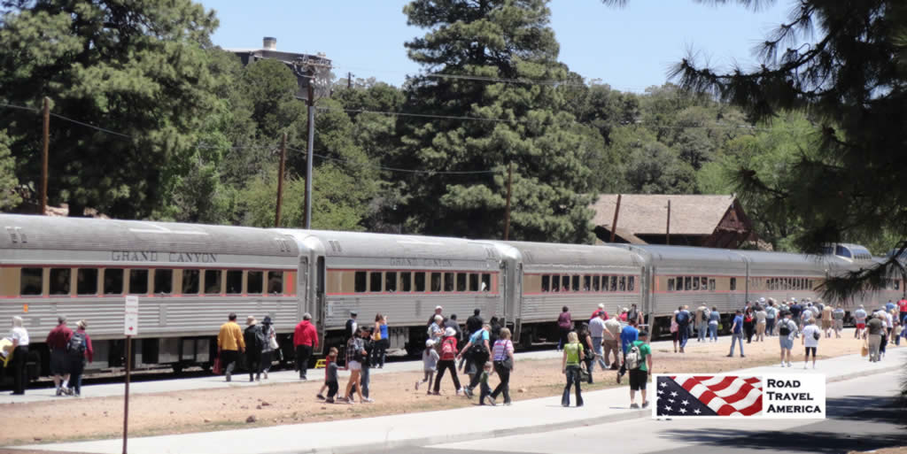 Grand Canyon Railway unloading passengers at the park